except for the plague of poisonous fungus

man1: who’s old enough to remember the old abbott and costello skit
“howe’s on first?“
man 2: no, that was “who’s on first?”
man 1: no, who’s on second. howe’s on first.
man 2: then who’s on third?
man 1: no. what’s on third. who’s on second and howe’s on first.
man 2: that’s LORD howe to you. but if what’s on third, who’s on second and lord howe’s on first, who’s batting?
man 1: no, who’s on second. why’s batting?
by now, lord howe, your brown cow is showing. even abbott and costello would be confused.
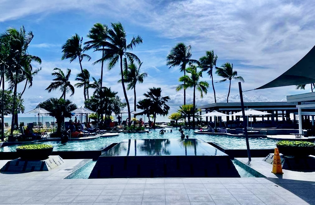
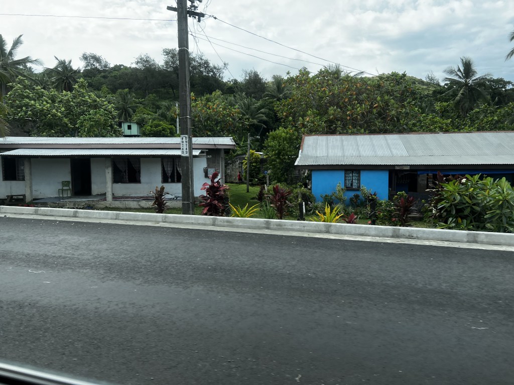
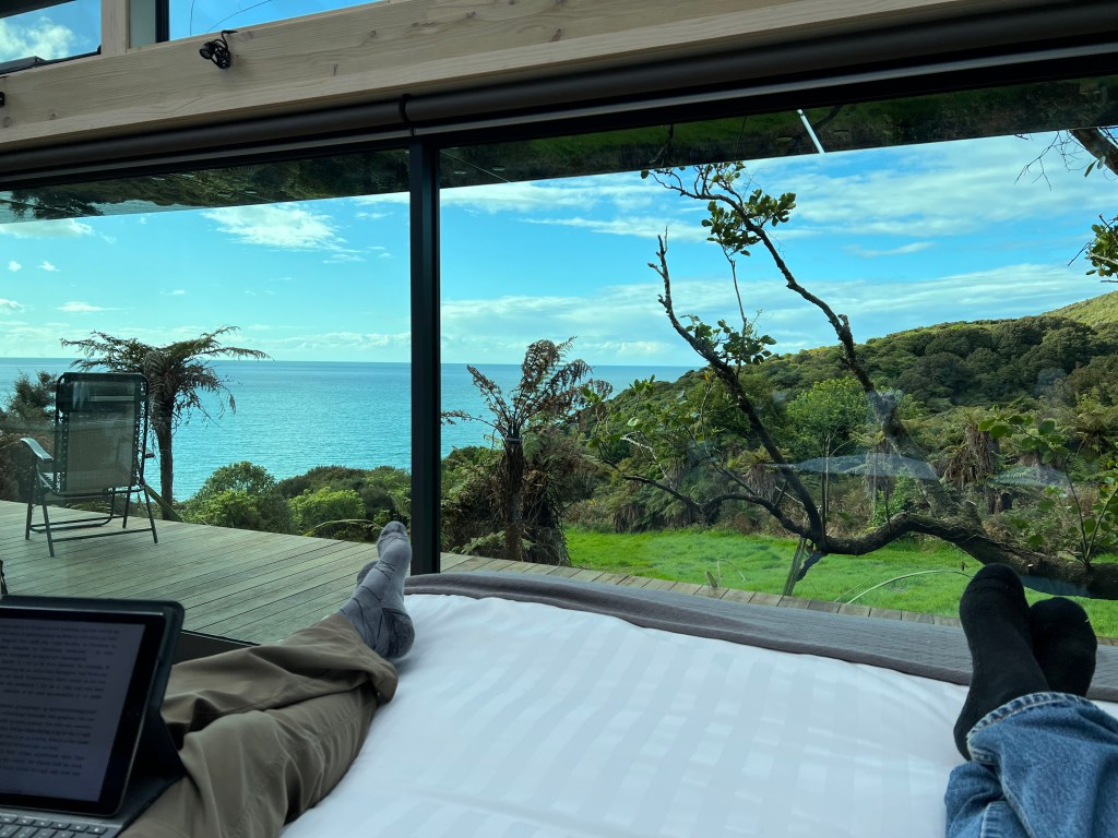
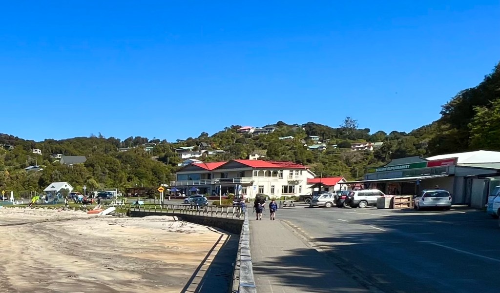
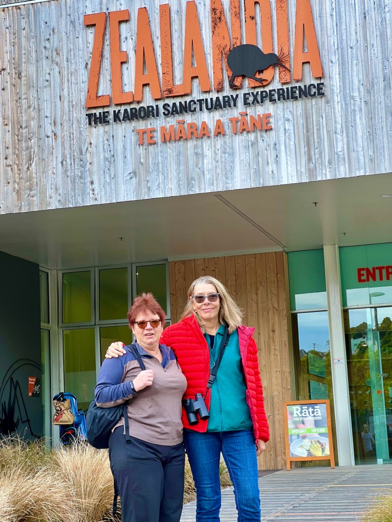
you’ll be forgiven if you’ve never heard of lord howe “brown cow” island. it’s a windswept speck of rock in the south pacific ocean, maybe 750 kilometers off the east coast of australia, much of which consists of two massive, uninhabitable chunks of hardened lava that shot up from the ocean floor into the clouds about 6.9 million years ago. the remainder is home to a tiny but well preserved little community of about four hundred people who go about their daily business as if they were just an ordinary part of the australian state of new south wales. that daily business mainly consists of hiring out snorkeling and scuba gear (and bicycles) to well-heeled folks who arrive in search of the magnificent coral reefs in the surrounding waters. and of course renting upscale apartments to those visitors when they come up for air.
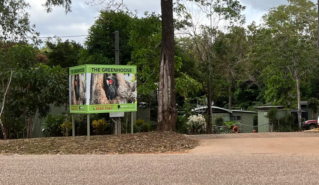
lord howe (brown cow) island is not for everyone. for one thing, there’s a strict limit on the number of outsiders allowed on the island at any one time. that number is four hundred, about equal to the number of locals. so if you have a hankering to visit, get in line. they’ll see you when they get around tuit.
second, it’s not for people with high-stress lives. on the island, you’re at the mercy of the elements. just about the only access is by air, and the landing strip is a thin ribbon of concrete that runs across the middle of the island, literally from one beach to the other, a distance of less than a kilometer. if the weather acts up, as it is wont to do, you’re SOL. (shirley outa luck). lord howe must be the destination for which the term “puddle jumper” was coined. our first scheduled flight to the island was cancelled when a thunderstorm inundated the runway, and it was touch and go the next day for a flight that departed the mainland at 5:45 a.m. so don’t depend on firm arrival and departure times. you’ll get there when you get there, and you’ll leave when mother nature waves her fickle wand.
and oh, while you’re there, forget about using your cell phone. there’s no service. none. so feel free to spend your time searching the ocean bottom. you won’t miss a call. guaranteed. and you won’t have to worry about the island’s current pandemic threat, poison myrtle rust. we never got clear on exactly what poison myrtle rust is. it’s some kind of a rare fungus. but the island park service has declared a medical emergency, and has positioned hand disinfectant and boot washing stations at the entrance to every hiking trail, so you can’t miss them if/when you go for a walk in the neighborhood.
once hands are sanitized, it’s time to eat, and there, you can’t miss. the island’s restaurateurs figure if you can afford to visit lord howe (brown cow), you can plunk down the cash (or plastic) for a quality meal. the half dozen or so culinary establishments on the island are all top flight. even the burger joint, which doubles as the general store, serves up a pretty perky patty. lord howe (brown cow) island is similar to the mythical town of lake wobegon, where all the children are above average. here, every dish served is a da vinci or a van gogh, meals so fine you hate to spoil them with a knife and fork. bring a camera.
for rainy days (and there are plenty), there’s the museum. well worth the price of admission. (it’s free). honestly, though, it offers a fascinating glimpse into the island’s past, both geological and australian. and it’s compact; you can be in and out in an hour.
the museum is the repository for local news, and as it’s tiny, the local paper makes a big deal of even minor developments, since they’re all minor on lord howe island. when new south wales noticed the island’s existence, the local paper was suitably outraged.

from the museum we also learned about ball’s pyramid, a triangular wall of rock that sits tantalizingly on the southern horizon from lord howe island. it’s just a rock wall, uninhabitable for humans, but some seabirds apparently find it irresistible, judging from the massive piles of guano covering some of the rock faces. we booked a boat ride out to the pyramid one morning, which was also supposed to be for snorkeling, but the diving was cancelled due to the puke-inducing swells in the water around the pyramid. seasickness pills were at a premium.
for snorkelers/scuba divers, lord howe island boasts the world’s southernmost coral reef. sinus troubles kept us from doing much diving/snorkeling, however, as the saline solution (sea water) drains my sinuses something powerful. after only a few minutes breathing through the snorkel tube, my addled lungs were rasping like an old saw.
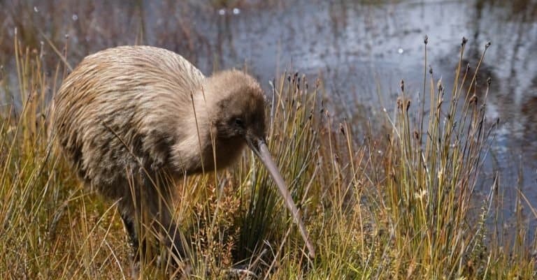
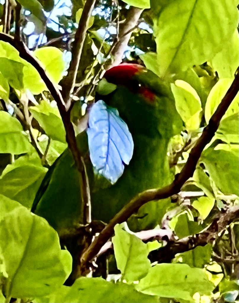
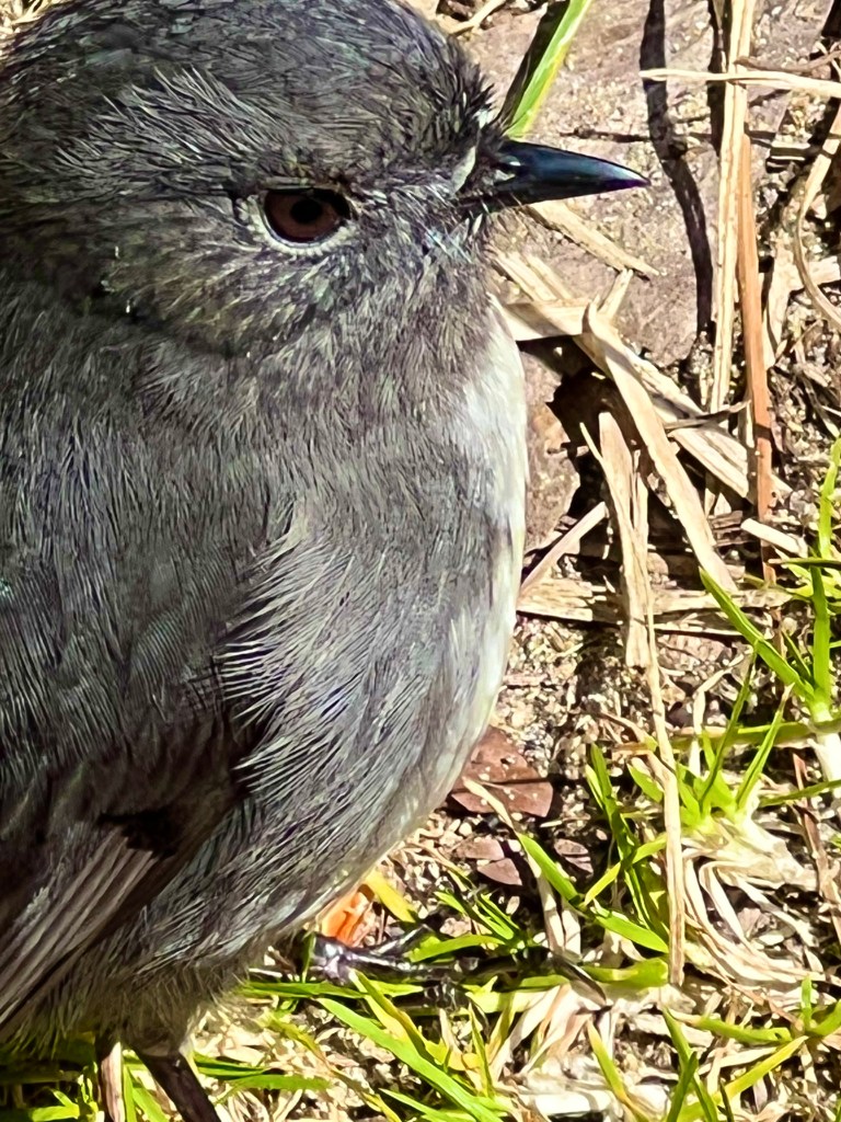
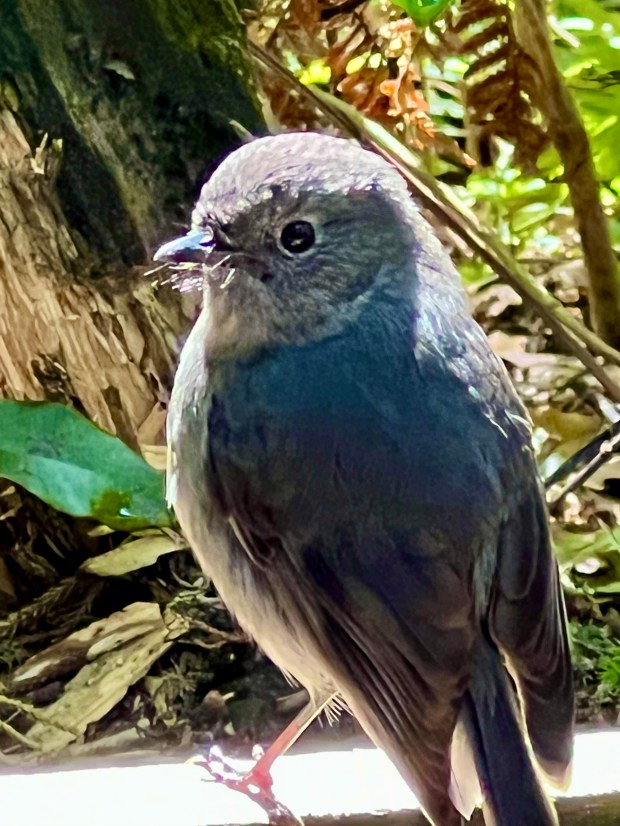
the stars of the show, from one twitcher’s (bird watcher’s) perspective, are the winged creatures. the avian inhabitants of lord howe island differ from those on the mainland. therefore, anyone looking for notches on her birdwatching belt is going to find lord howe a royal goldmine. and she did.
good lord, howe she did revel in the island’s birdiversity. there’s no equity among birds, no inclusion either. but diversity, omigod. they’ve got it in spades. and hearts and diamonds. (oddly, no clubs. see below)

from a photographer’s perspective, lord howe island is exceptional. the birds seem to think the humans are there to photograph and admire them, which they are, so the winged creatures have no qualms about setting down just outside touching distance. no telephoto lens needed. a few species were a bit standoffish, but there’s plenty to photograph without those snobs.


same with the fish. they just hang out in huge bunches (schools? universities?) a foot or two off shore, waiting for snorkelers to wade in so they can harass them for treats. it’s gotten to the point where the beach council (yes they have a beach council) now provides little containers of “fish food” to placate tourists eager to comply with the fishes’ wishes. only problem is, just as with the birds, the big fish get all the goodies, leaving the little guys to scrounge for scraps. that hasn’t scared off the smaller fish, though. they’re still there in such large numbers that it seems they have little “fish traffic jams”. i wonder if sometimes a fish gets distracted and rear-ends the fish in front of him. don’t ask why they put up with such seemingly hopeless odds. they must know something we don’t. but there were no starving fish around lord howe island, that’s for sure.
sure, you’ll be forgiven for forgetting lord howe (brown cow) island. at only 400 visitors at a time, the chances are slim to none (and slim just left town) that you’ll ever get to this little dot in the south pacific. but it’s worth remembering that there still exist a few throwbacks to the days of yore, where bicycling a few minutes to the shore for a snorkel or scuba was all in a day’s fun. thank lord who, however he was.
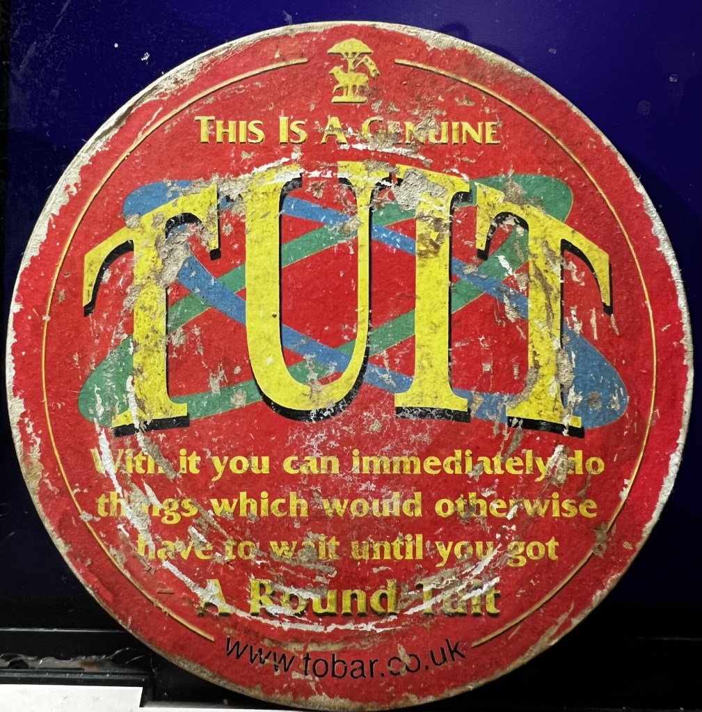
and…. oh, look! a round tuit! lord howe’s beach council gets a round tuit. to granting you a tourist visa. so by all means, put in your application. if they’ve gotten a round tuit, who knows what’s next. maybe ball’s pyramid will erupt again. it’s been 6.9 million years since the last one. it’s about time they got around tuit.